 Traveled on the I 40 toward Barstow and exited onto the 95N for Searchlight and Las Vegas.Turned left instead of right and parked on the gravel road. Took the road to the right (wrong way, I guess) and ended up at this outcropping. Climbed all over it, but didn't find anything unusual. Still and all I want to learn what the heck this stuff is, so I collected a few samples. There was nothing that looked like jasper or agate, although there were some rocks that resembled the green jasper we collected at the Big Chief Mine area, which turns out not to be jasper. Oh, well, collected a nice rose piece, so I will see how it polishes. I know where to get more.
Here's some more pics from the outcropping. Our first investigation.


 I'm thinking this is a granitoid encased in the dark rose goo.
I usually take photos on the trail, usually on the way back, so I can amble along.
 Pretty colors
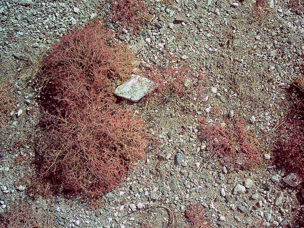

 Old Flattop Mountain
 Hang in there, dearie.
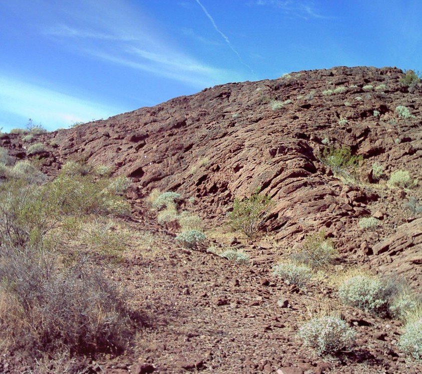
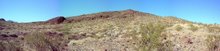
Now that I have been reading a bit, I realize how bad a job I did of documenting. Better go back and do some diagrams. This is fun. And I need to walk around this outcroping to get the full picture.
I'm wondering if what I was seeing was volcanic pink tuff-breccia. But this is overlying another eruption or lava flow. Because I recall another layer, gray in color that was formed something like the description of pahoehoe. Was this earlier flow of basalt? Hmmmmmmm?
Is this the highest elevation of a large flow, the rest of which has been covered by sedimentation. Another hmmmmmmm?
Better upload the topo map to see what I can see of the landscape in the area.

Oh, I forgot, we also went to the other end of the Wilderness, which is the Powerline Road at the Water Road exit of the I 40. Then we returned to the 95N, and turned off at the road to Goffs to look for the Bannock Siding. Then on to Goffs. Too cute!


No comments:
Post a Comment